subdron
Defense & Security · 0 divers

Seabed Anomaly & Mine-Like Object Survey

subdron
Field Mission

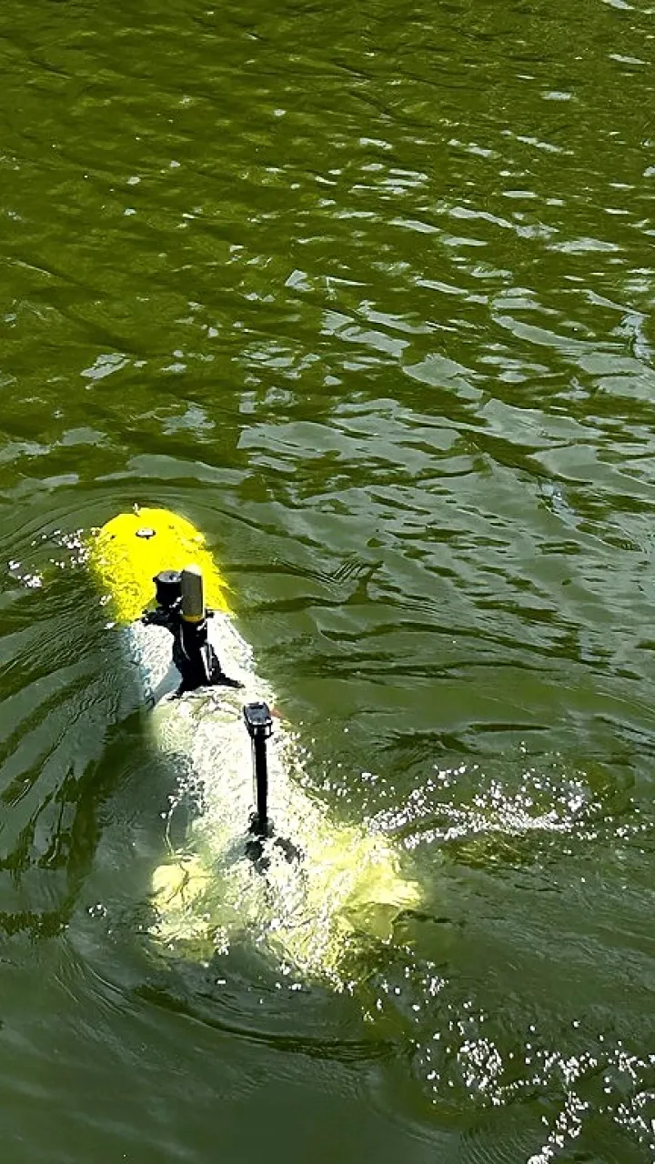
Yellow AUV with twin propellers lifted out of an indoor test pool, dripping water.

Challenge

A persistent picture of the seabed in contested waters is a sovereign security priority, yet manual methods put personnel at risk and can't sustain coverage. Sovereignty over the resulting data is non-negotiable.


Approach

  • Plan, Define survey scope, route, and sensor configuration for the asset.
  • Deploy, Launch on site with a 1–2 person crew, operational within minutes.
  • Navigate & Collect, RON follows the structure at zero visibility, no divers, no downtime.
  • Process, Cloud reconstruction produces a cm-accurate 3D model with ML-flagged anomalies.
  • Report, An interactive, shareable 3D dataset for the operator.
  • Integrate, Export into asset management systems for year-over-year comparison.


Data & Insights

  • 0, divers at risk
  • sovereign-secure, European-controlled data
  • persistent, repeatable picture
  • zero visibility, full capability


Results

The mission produced a persistent, repeatable picture of the seabed in the designated area, at zero visibility, with zero divers at risk. Foreign objects and anomalies were autonomously detected, positioned, and classified for review, giving the client a defensible record of exactly what sits on the bottom and where.

Every byte of mission data remained under European control on sovereign infrastructure, no third-country cloud, no external dependencies. Because the survey is repeatable on demand, the same area can be re-scanned after any incident or interval and diffed against the baseline: new objects stand out immediately. Operational details beyond this capability level are shared through vetted channels.


Clients Impact

This is a representative, illustrative scenario describing a realistic subdron use case, not a documented real mission. No customer is quoted or named.

Plan your inspection

Ready to Inspect Your Assets?