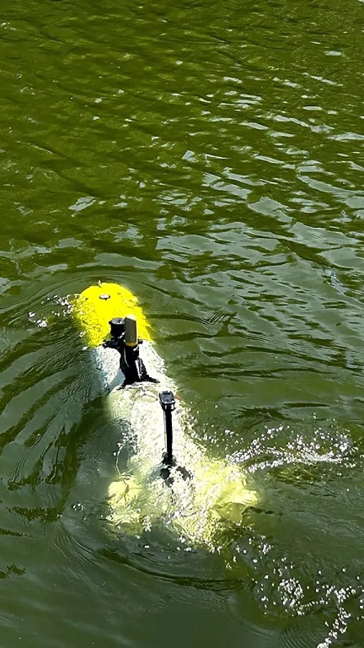
Autonomous Subsea Intelligence
Survey-grade 3D data, captured on a real mission
This point cloud is from a live Scandlines inspection at the Puttgarden ferry terminal, resolved to more than 12,000 measured points per square metre, precise enough to plan maintenance from directly. See how that compares to divers and tethered ROVs →
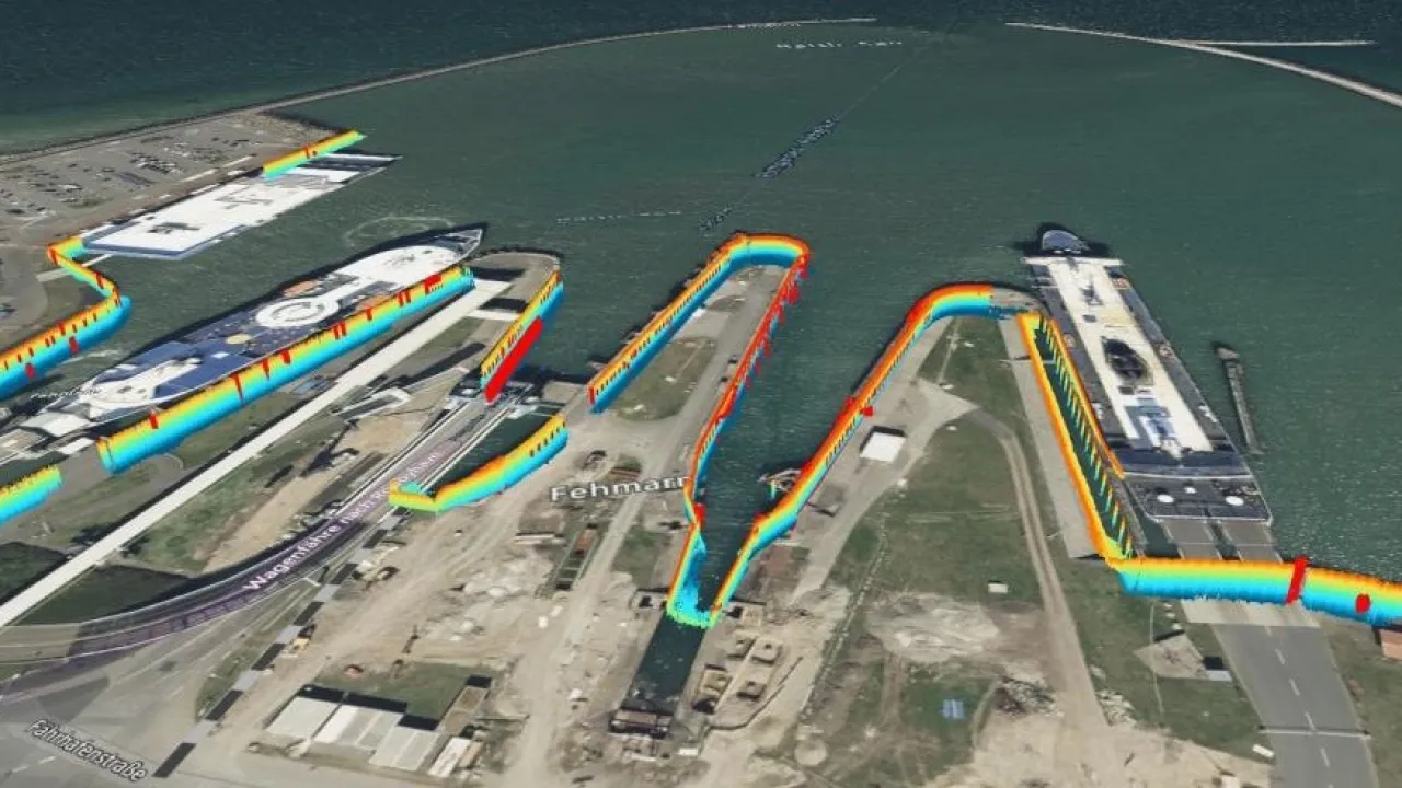
1,100 m of quay wall, 4 berths, one continuous mission.
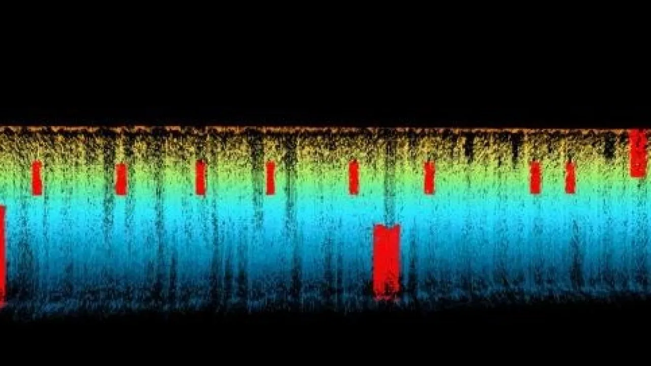
28 objects precisely located and measured from the point cloud.
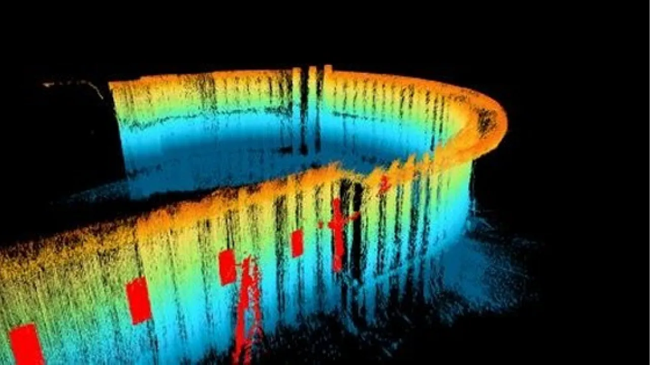
Curved wall section, objects flagged in red
Nearly 99% of the world’s data and energy travels through subsea infrastructure, yet less than 1% is routinely monitored.
subdron is closing that gap with autonomous inspection that operates in zero visibility, combining more than 30 years of defence expertise with sub-decimetre positioning accuracy
of global data & energy flows
regularly monitored
defence experience
positioning accuracy
Two worlds, one platform
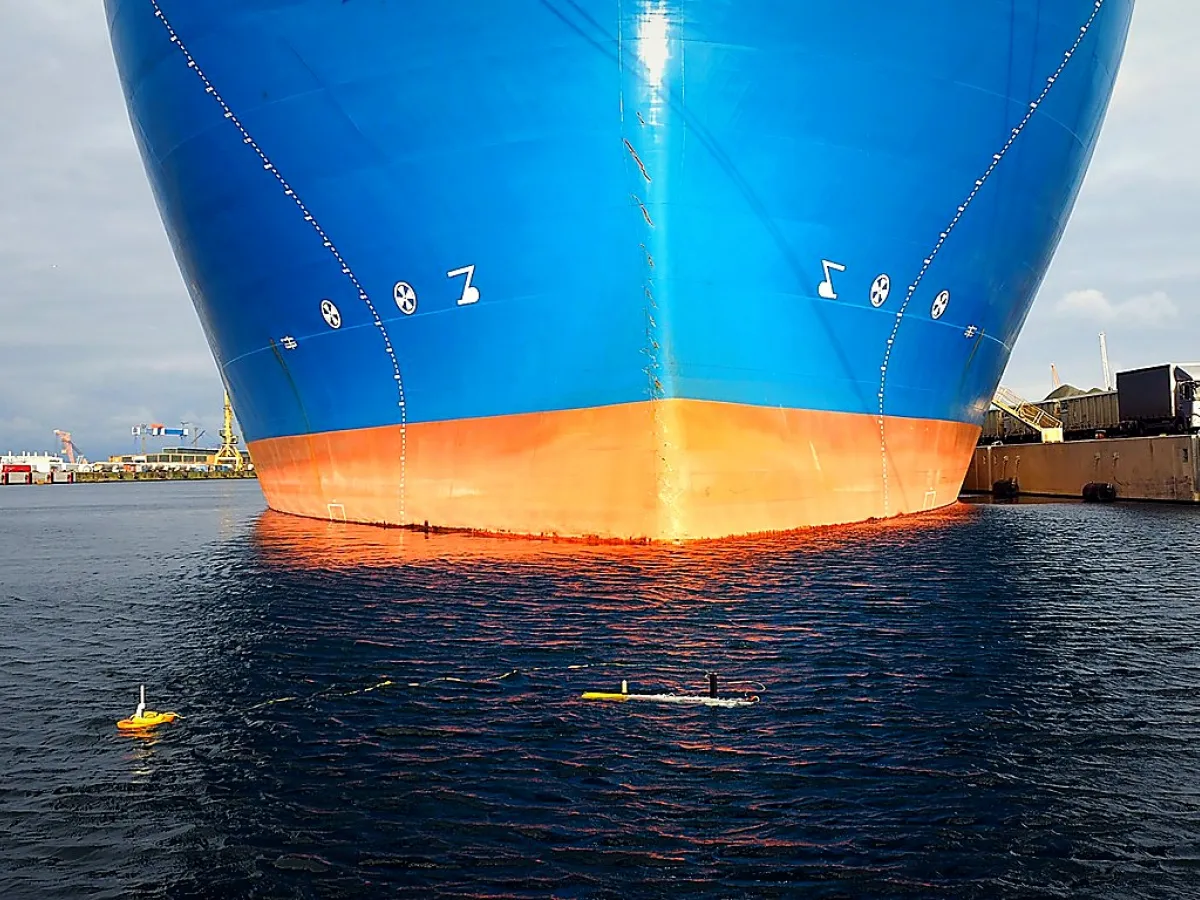
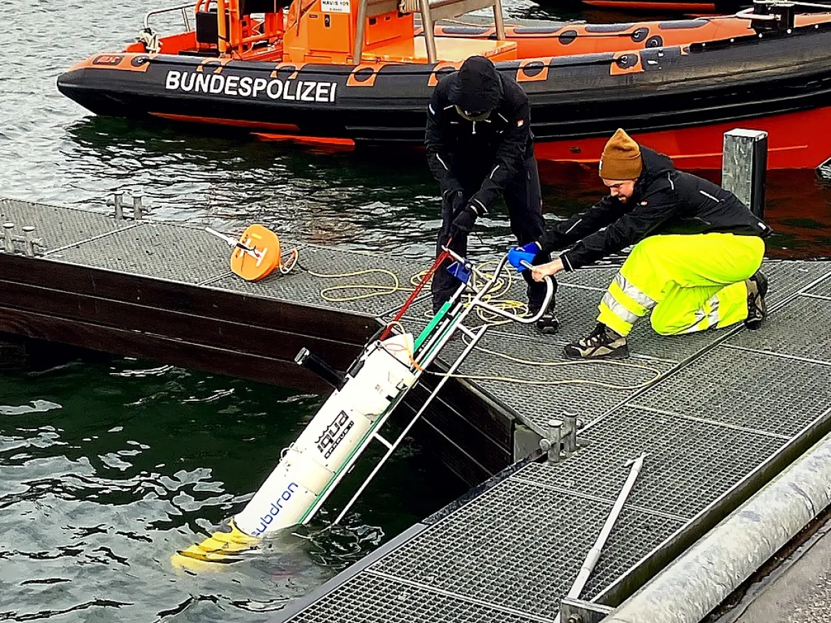
Enabling inspection missions in zero-visibility environments.
Backed by over a century of collective expertise in underwater robotics.

“Sovereignty under the sea starts with control over data, mission data has to stay under European control.”

Trust comes from a complete dataset, not more dives.

Re-inspect and compare the same structure over time.

RON guides the vehicle along the structure in complete darkness, cm-accurate 3D in a single pass.

One core, flexible across commercial and defense.
RON: Relative Object Navigation
Next-generation autonomous navigation for confined, GPS-denied underwater environments. Unlike GPS-based or tethered systems, RON positions the vehicle relative to the inspected structure itself, no pre-mapping, no external positioning.

subdron gave us a complete, comparable dataset of the structure, without taking berths out of operation.
Port Engineering Lead
Northern Europe
Proprietary navigation algorithms
Relative Object Navigation is the core technology behind subdron, and it works differently from GPS-based or tethered systems. Instead of fixing its own position in open water, the vehicle positions itself against the structure it is inspecting. Rather than only locating the target, it traces the structure's shape to capture the whole thing in a single pass, so coverage is faster and every survey stays comparable to the last.

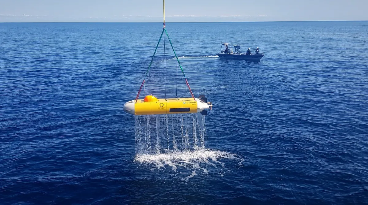
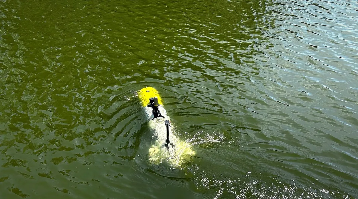
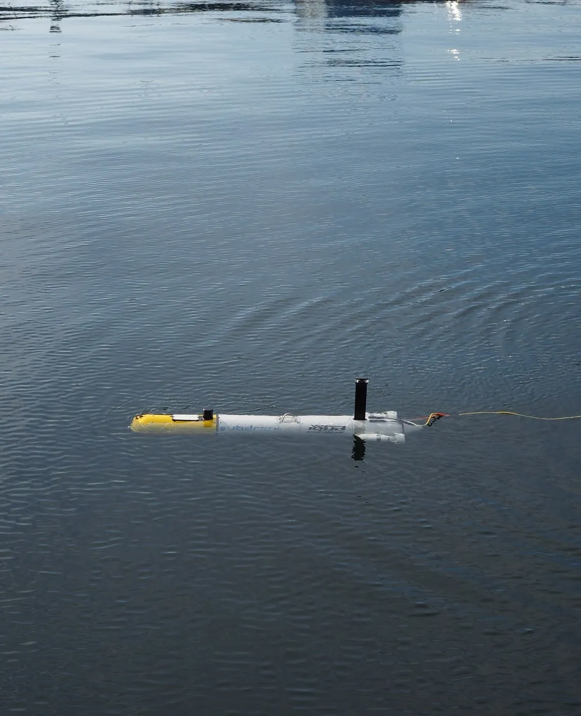

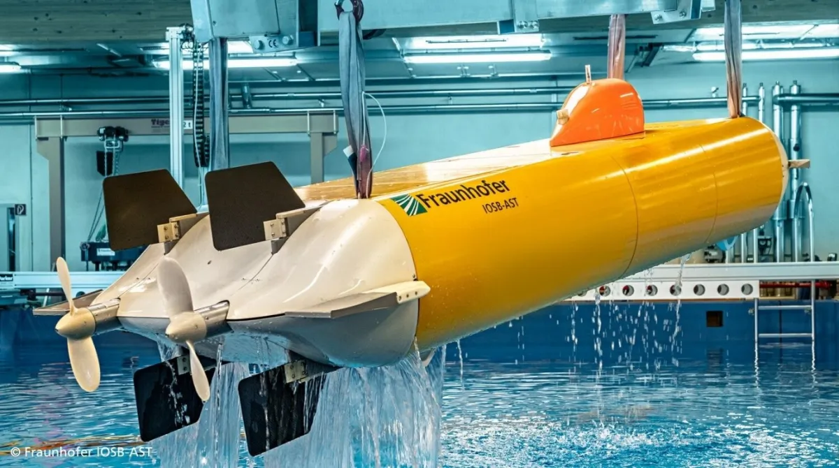
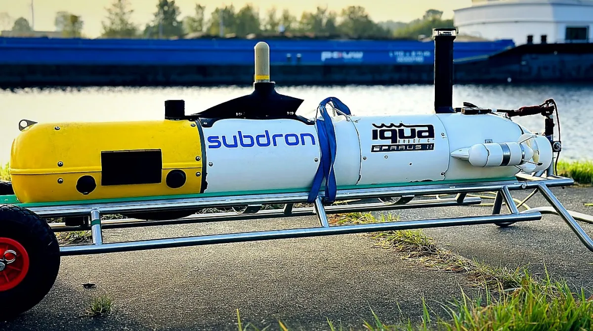
What a mission actually returns
Every survey comes back as a cm-accurate 3D dataset, not a folder of photographs. These are real point clouds from real missions, captured at more than 12,000 measured points per square metre, even where the water gives a diver nothing to see.
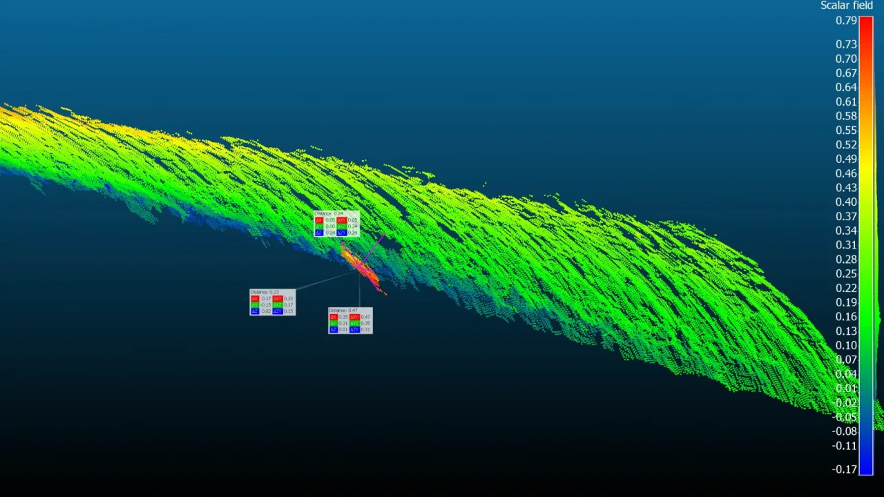
Detection of an object attached to one side of the hull, with cm-level distance measurements.
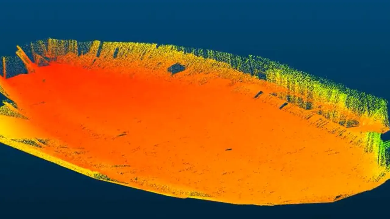
Built straight from raw acoustic data at the flat keel and bilge keel.

Two surveys overlaid into one high-density swath of the wall.
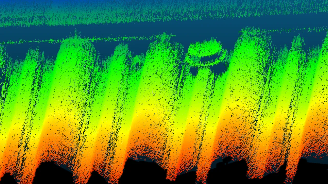
Fine structural detail picked out of the point cloud.

1,400 m² of wall and 3,400 m² of floor mapped by two vehicles in a few hours.

Test objects identified in the live acoustic stream despite no usable visibility.
Inspection, compared
| How they compare | Divers | Tethered ROV |

|
|---|---|---|---|
| Autonomous navigation | No | No | Yes |
| Zero visibility | No | No | Yes |
| Repeatability | No | limited | Yes |
| Digital-twin ready | No | partial | survey-grade 3D |
| Speed | baseline | tethered | up to 10× faster |
| Cost | high | costly | up to 50% lower operational cost |
| Resolution | limited | partial | 12,000+ pts/m² |
| Dataset | photos & notes | partial | cm-accurate 3D point cloud |
| Hardware integration | No | vendor rig | works with existing AUVs & ROVs |
| Licensing | None | None | license or service |


Questions, answered with clarity