subdron
Ports & Terminals · 600M

Full Quay Wall Scan in a Single Shift

subdron
Field Mission

AI Anomaly Detection

Challenge

The wall is over 50 years old, partly obscured by biofouling and sediment, and sits in near-zero-visibility water. Conventional diver inspections would have closed berths for days and still delivered only partial, non-comparable photo reports.


Approach

  • Plan, Define survey scope, route, and sensor configuration for the asset.
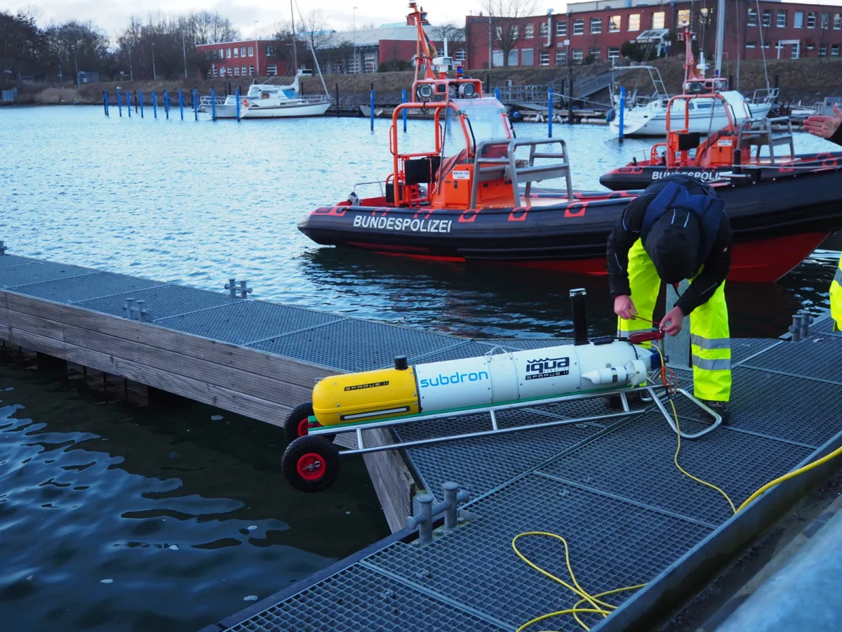
  • Deploy, Launch on site with a 1–2 person crew, operational within minutes.
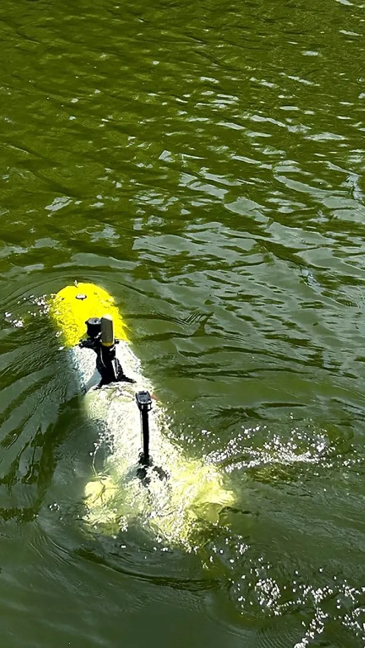
  • Navigate & Collect, RON follows the structure at zero visibility, no divers, no downtime.
  • Process, Cloud reconstruction produces a cm-accurate 3D model with ML-flagged anomalies.
  • Report, An interactive, shareable 3D dataset for the operator.
  • Integrate, Export into asset management systems for year-over-year comparison.


Data & Insights

  • 600 m, scanned in a single shift
  • 0, berth downtime
  • cm-level, 3D model precision
  • 12,000+, data points / m²


Results

The full 600 m quay wall was captured in a single working shift, as one continuous, cm-accurate 3D model with more than 12,000 data points per square metre. Not a single berth was closed during the survey: vessel traffic and cargo operations continued while the vehicle worked along the wall at near-zero visibility.

The ML pipeline flagged structural anomalies, cracks, spalling, and sheet-pile misalignment, directly in the model, each one measurable and locatable to the centimetre. Because the dataset is complete rather than a sample of diver photographs, it is now the baseline for year-over-year comparison: the next survey will show exactly what changed, where, and by how much.


Clients Impact

This is a representative, illustrative scenario describing a realistic subdron use case, not a documented real mission. No customer is quoted or named.

Plan your inspection

Ready to Inspect Your Assets?